

Accueil / Discover Alsace Bossue / Leisure activities / Hiking
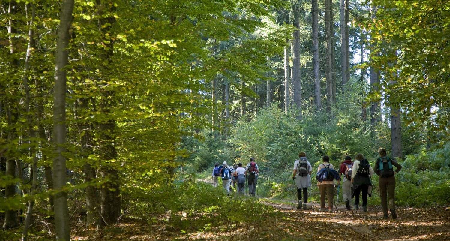
Hiking

The Kirchberg, between Thal and Berg
Thal Drulingen
Adresse :
67320 Thal Drulingen
Contact :
Office de Tourisme de l'Alsace Bossue
Tél. : 03 88 00 40 39
Mail : tourisme@alsace-bossue.net
Formerly on the hill of Kirchberg, the inhabitants of Thal-Drulingen and Berg had a common origin. A first group separated from the community from the thirteenth century to settle at the foot of the mountain and formed the village of Thal (or "valley" in Germanic). It was not until the sixteenth century that the rest of the community left the hill to recreate another village of Berg ("mountain" in Germanic), along the Muhlbach, thus lower than its neighbor, Thal .
Length of visit/event :
2h
Level of difficulty :
Easy
Length of the itinerary :
5
Type of path, circuit :
hiking path
Difference in altitude (in m) :
110
IGN map :
Map no. : 3614 ET